
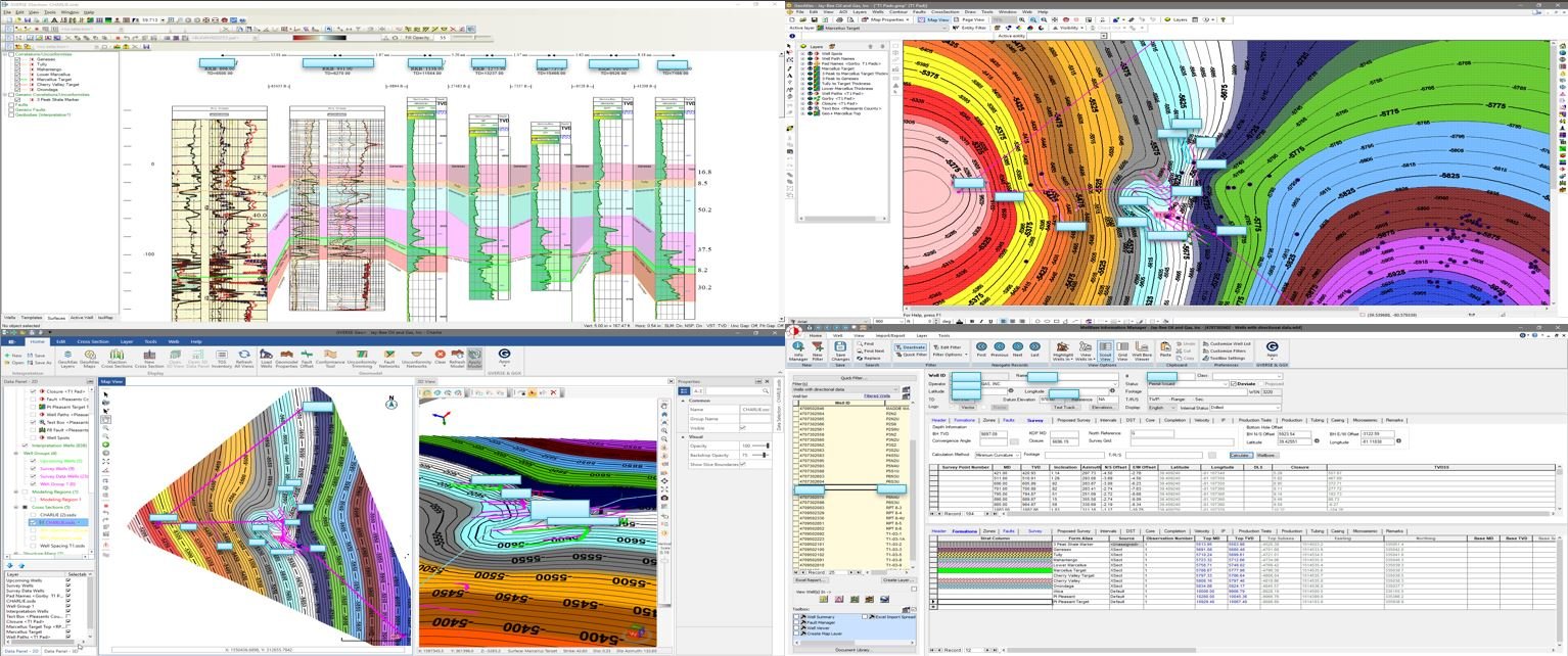
Geo-sciences & Field Development
Structure mapping & 3D modeling of entire Fields down to specific parcels and counties. Identification of regional Apparent Dip & strike angle, along with creation of Geoprogs and Isopachs.
Geo-sciences
Identify Apparent Dip using Pilot Hole and re-correlated Horizontal data
Faults, Fractures, Anticlines, etc. can be plotted
Map individual Horizons and Target planes
Zones within Utica, Marcellus, Wolfcamp, etc.

2D View of Well Locations & Plans

3D View of Well Paths
Well Planning
Directional Well Plan provides visual representation of path modeling within zones of interest
Geoprog interpolates Formation Tops with predicted encounters in TVD / Subsea
Field Development
Analyze past and current well placement and production within fields to optimize production
2D and 3D Views created to portray contours and formation thicknesses